1- Map of Haiti and its Departments

Source: Angela King and Brad Cole. 2008. Haiti Map- Haiti Satellite [Internet]. Geoscience News and Information; [Cited February 22, 2014]. Available from: http://geology.com/world/haiti-satellite-image.shtml
2- Map of Haiti's Biome
3- Temperature and Precipitation of each biome in Haiti
A- Tropical and subtropical Dry Broadleaf Forest
Average from high to low range precipitation: 1597 mm - 1100 mm per year.
http://www.worldweatheronline.com/Croix-Des-Bouquets-weather-averages/Ouest/HT.aspx
B- Flooded Grasslands and Savannas
Average from high to low range temperature: 69o F-62o F per year.
Average from high to low range precipitation: 1400 mm - 1120 mm per year.
http://www.worldweatheronline.com/Manneville-weather-averages/Ouest/HT.aspx
C- Tropical and Subtropical Moist Broadleaf Forests
Average from high to low range precipitation: 1400 mm - 1120 mm per year.
http://www.worldweatheronline.com/Manneville-weather-averages/Ouest/HT.aspx
C- Tropical and Subtropical Moist Broadleaf Forests
Average from high to low range temperature: 75.3o F-60o F per year.
Average from high to low range precipitation: 1397mm - 1100mm per year.
http://www.worldweatheronline.com/Nan-Jeremie-weather-averages/Centre/HT.aspx
D- Tropical and Subtropical Coniferous Forests
Average from high to low range precipitation: 1397mm - 1100mm per year.
http://www.worldweatheronline.com/Nan-Jeremie-weather-averages/Centre/HT.aspx
D- Tropical and Subtropical Coniferous Forests
Average from high to low range temperature: 70o F-80o F per year.
Average from high to low range precipitation: 2000mm - 1000 mm per year.
E- Mangroves
Average from high to low range temperature: 81o F-77o F per year.
Average from high to low range precipitation: 3200mm - 1000 mm per year
4- Highest and lowest Elevation in Haiti
Haiti’s lowest elevation reported by one source to be sea level (the Caribbean sea), by another source to be below sea level (Gheskia clibic, Port- au-Prince or in Gonaives <-1 m while its highest point is Pic La selle at 2,680 m.
5- Position Geographic of my Lagonave
Latitude : 18°50'0.03"N
Longitude: 72°59'44.23"W
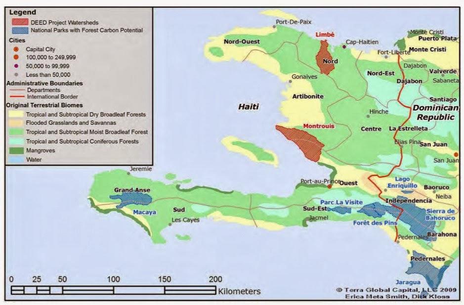
6- Map of different ecosystem in Haiti

7- Representative pictures of each of the ecosystems
source:
.jpg)
Mountain Humide de basses attitude:
.jpg)
Mountain tres humide: View the website

Plaine aride en Haiti . [Click for further information]

Plateau [ Click here to check the source]
.jpg)
Urban [ Click here to view the source]
8- Description of Lagonave ecosystem
Lagonave is made up of mostly limestone, barren and hilly with the
highest point reaching 778 meters above the sea level. The coast part of the
island is mainly dry plain and plateau. The center of the island is made of a
range of mountain which causes the south get more precipitation than west of
Lagonave. The coast of Lagonave is the home of several species of fish and
wildlife and several numbers of invertebrates.
Lagonave is famous for being the home of an endangered species of
flamingoes (Phoenicopterus).The roughness of the soil impedes slow down the
growth rate of the trees specially in the southern side and most forests have
been logging to raise cattle and grow crops. The western part of the side is
slightly greener and there is very biodiverse environment. There different
species of amphibians, snakes, birds. In many forested areas, there are great
communities of wildcats.
The north Lagonave is home of many different ecosystems swamps,
coastal mangroves and scrubs. Freshwater swamps have water for only the rainy
seasons. The most common plants found is fern, vine, sedge and others species
of deciduous. Many animals spend a part of their lives around the swamps. The
birds build nest, breed and find food in this ecosystem. One main mangroves
species is found in Lagonave. The black mangroves( Avicennia germinans, syn A.
nitida). This species of mangrove grow grow in salwater and also areas
frequently flooded by salwater. The mangroves plays a crucial role in providing
habitat for fish to lay their eggs. They also protect the coastal zone from
wind, marine erosion, and wind
No comments:
Post a Comment